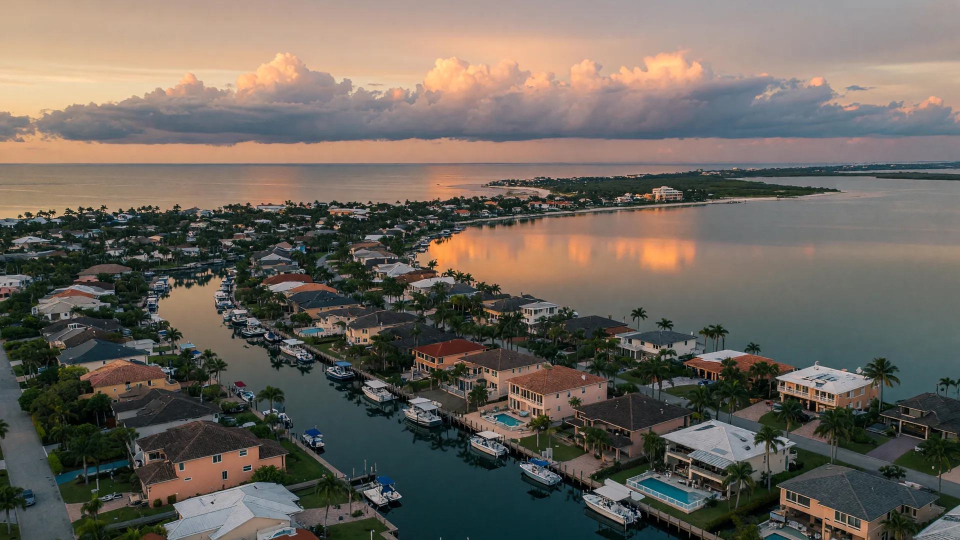
Flood zones are the most misunderstood part of buying a home on Florida's Gulf Coast, and the stakes are real. Where a property sits on FEMA's flood maps decides whether mortgage lenders require flood insurance, how much coverage costs, and how the lot handles the rainy season. This article explains what the zone letters mean, where Gulf Coast communities sit on the current maps, how flood insurance works here, and how you can check a property before you make an offer.
What the Flood Zone Letters Mean
FEMA's flood insurance rate maps, known as FIRMs, divide the landscape by annual flood risk. The zones you will actually see on the Gulf Coast:
- Zone AE: a high-risk area inside the Special Flood Hazard Area, mapped with at least a 1 percent annual chance of flooding, the event behind the phrase '100-year flood.' These zones have a calculated base flood elevation that sets the engineering bar for new construction.
- Zone A: the same high-risk category, but mapped with approximate methods and no computed base flood elevation, usually in areas that have not been studied in detail.
- Zone VE: the coastal high-hazard floodplain, subject to the 1 percent flood plus velocity and wave action from storm surge. This is the zone that rules much of the barrier islands.
- Zone X: minimal risk, mapped outside the 500-year floodplain for the most part. No special flood hazard here, and no lender requirement, though flood is still possible.
Quick shorthand: A, AE, AH, AO, and V zones sit in the Special Flood Hazard Area, and a federally backed mortgage will generally require flood insurance there. Zone X does not, and that distinction drives most of the confusion and most of the savings.
Where Gulf Coast Communities Sit on the Maps
Sarasota County and Manatee County follow the same geography at different scales. The barrier islands carry the highest designation: much of Siesta Key, Longboat Key, Lido Key, Casey Key, and Venice Island sits in Zone VE, exposed to coastal wave action. Across the water, the mainland pattern flips: the bulk of Sarasota proper, Bradenton, Venice's mainland, and Lakewood Ranch are mapped Zone X, with pockets of Zone AE almost always tied to water, along creeks, rivers, bays, and canals.
An inland X does not mean no risk; it means below FEMA's high-risk threshold. And the maps keep moving. FEMA released updated flood insurance rate maps for Sarasota County in 2024, adding refinements like the Limit of Moderate Wave Action, a line showing where waves can still push damage landward of the mapped VE zones. The flood and evacuation zone page links the official address-based lookups so you can see the current map for any property, not the one a neighbor remembers.
Why Flood Insurance Matters in Southwest Florida
Standard Florida homeowners policies do not cover flood damage. Water from storm surge, rising rivers, heavy rain, or a failed drainage system needs a separate flood policy, full stop. In a region that averages afternoon storms for half the year and sits one strong season away from a record surge, that exclusion is the single biggest coverage gap a new buyer can carry.
The zone also reaches into your monthly budget. In high-risk zones, lenders escrow for flood insurance the way they escrow for taxes, so the premium is part of the true payment, not an afterthought. Sellers across Florida are required to provide a written flood disclosure at or before the sales contract, including prior flood claims and damage during their ownership, which gives buyers a factual starting point. The cost-of-living guide builds insurance into its regional comparisons for exactly this reason.
NFIP and Private Flood Insurance, Side by Side
Flood coverage comes from two places. The National Flood Insurance Program, run by FEMA, is the traditional route: available in participating communities, with building and contents limits set by law. NFIP policies almost always carry a 30-day waiting period before new coverage takes effect, so they are something you start at contract, not in the week of a named storm.
Private insurers now write flood policies across Florida too, and they can offer higher limits and a faster start date, sometimes at a better price for lower-risk properties. The trade-off is less standardization: private coverage terms differ from NFIP's plain-language policy, so the fine print deserves a real read. An independent agent who writes both can quote the same property both ways, which is often the fastest path to an apples-to-apples number.
FEMA has also reworked its pricing. Under Risk Rating 2.0, phased in for new policies from October 2021 and fully applied to renewals by April 2023, NFIP premiums are now set property by property from the home's actual flood risk, value, and characteristics, rather than from the zone letter alone. Two homes on the same street can now carry different premiums, which is why your own quote beats any average.
What Drives the Cost
The premium movers are your flood zone, your home's elevation above the base flood elevation, which is documented on an elevation certificate, the age and type of construction, the coverage amounts and deductible you choose, and the property's claims history. Nationally, the average NFIP premium has run roughly $800 to $950 a year in recent analyses, and Florida's average sits around $900, but that range is a starting point, not a quote: a raised home on pilings in a mapped X zone can cost far less, and an at-grade home in a coastal AE zone far more. Newer construction terms like finished floor elevation and freeboard matter here, so the new construction guide is worth reading before you shop builders.
How to Check a Property Before You Buy
You can do this in an afternoon. Start at FEMA's Flood Map Service Center at msc.fema.gov, type in the address, and read the mapped zone. Then layer on the county's own flood resources, which add local history and stormwater detail the federal map does not carry. When you are under contract, the seller's written flood disclosure answers the biggest questions: prior claims, federal assistance, and any flooding during their ownership. Verify the map yourself anyway, because disclosure covers what the seller knows, and the map covers what the government has actually studied.
The Next Step
A high-risk zone is not a reason to walk away; it is a reason to budget, verify, and ask. A prepared buyer asks about prior claims, finished floor elevation, storm surge history in that specific neighborhood, and how the drainage performed in recent storms. The home and flood insurance guide lists those questions, the hurricane preparedness guide covers the storm-season routine once you own, and if you are comparing properties right now, bring your questions to a local agent who knows which streets flooded and which stayed dry, and who can connect you with carriers early. Moving from out of state? The relocation guide puts insurance in the context of the whole move.